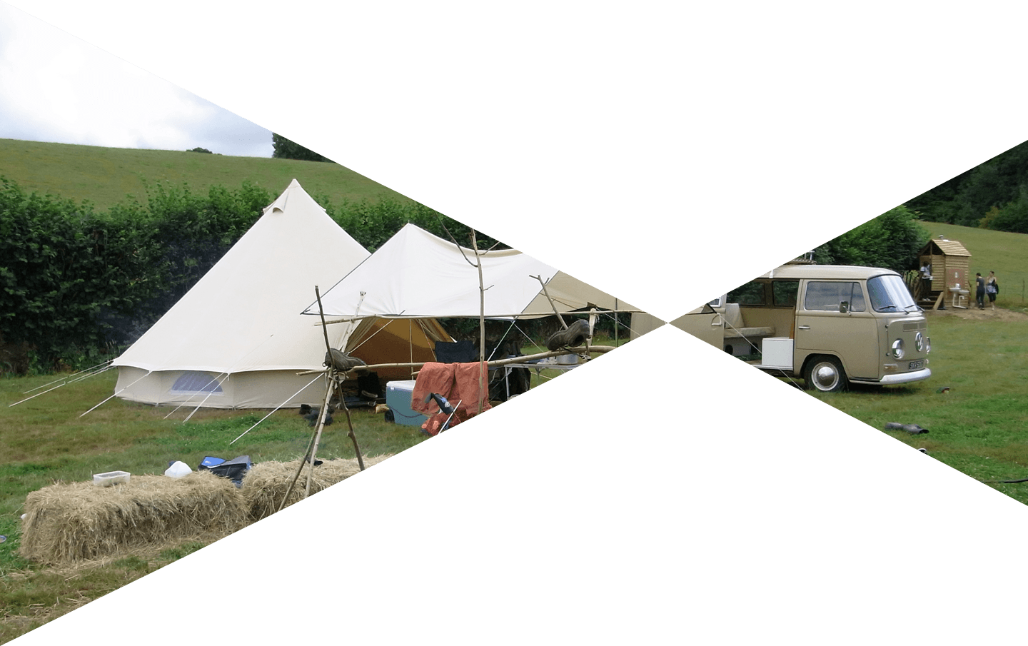
Bedgebury Camping Goudhurst location
Postcode reference TN17 2QX
Address Pattenden Farm, Bedgebury Road, Goudhurst, Kent TN17 2QX
What3words ///glow.emulated.dragonfly
Ordnance survey map reference TQ 716364
By road
From London –
At Junction 5 of the M25 take the A21 to Hastings. Continue past Tunbridge Wells and Blue Boys service station (Hint: M&S Simply food & Burger King at the service station).
After Blue Boys Service Station, at the next roundabout turn left and head towards Goudhurst on the A262. Go up the hill into the centre of Goudhurst and turn right at the village pond down the B2079. Continue down the hill to the bottom, going past Smugley Farm on the left, and then past Peasley Lane on the right. We are the next turning on the right after Peasley Lane.
If using sat nav:
**The sat nav may take you to Smugley Farm. Please note that Smugley Farm is not the location of the campsite. Please continue along Bedgebury Road for about 250 metres from the Smugley Farm entrance away from Goudhurst village where you will see a large orange banner signposting the entrance to 'Bedgebury Camping'.**
From the South –
Head towards Flimwell on the A21, at Flimwell head towards Tunbridge Wells on the A21, take the first right after Flimwell and follow the signs to Bedgebury National Pinetum. This will take you down Lady Oak Lane. Go past the Bedgebury Forest entrance and continue towards Goudhurst for about 5 minutes. Look out for our signage on Bedgebury Road. The campsite will be on your left.
From the East
Head through Goudhurst on the A262. Turn left at the duck pond in the village of Goudhurst and proceed down Balcombes Hill which then becomes Bedgebury Road. Go past Smugley Farm on the left. Look out for our signage on Bedgebury Road. We will be on the right.
Bedgebury Camping by rail
The closest station is Marden which is a 15 minute Taxi ride or a 6 mile mountain biking ride. Trains for this station come from London Charing Cross, Waterloo East and London Bridge with one leaving every 60 minutes and take around 1 hour, as well as Canterbury and the Kent coast.
Paddock Wood station has more regular trains leaving every 30 minutes from the same London stations, but is 11 miles away or a 20-25 minute taxi ride.
Goudhurst Camping by foot
Bedgebury Camping is located on the Goudhurst and Kilndown six mile Millennium Walk as detailed in the Ordnance Survey Explorer map 136.
Arriving at Bedgebury Camping for the start of your break
The campsite is located down a concrete farm road, drive in and you will come to the campsite reception, parking is available on the left. It is then a short drive to your designated camping area.